Strengthening Waterloo’s Innovation Corridor
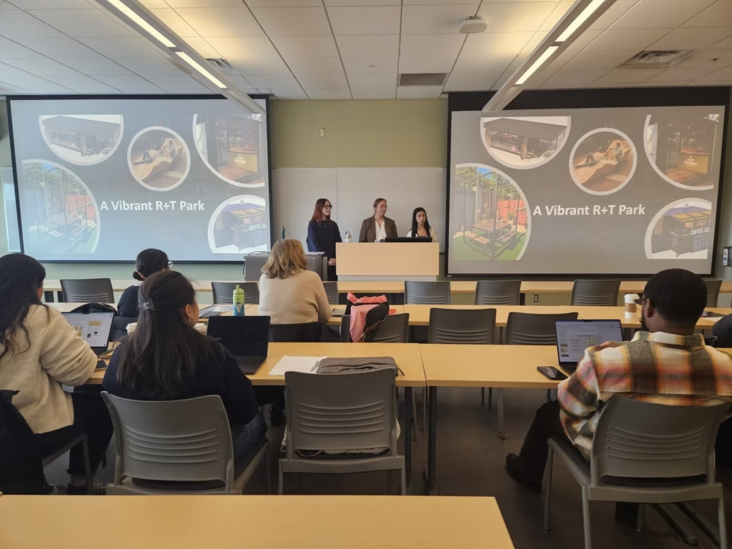
MEDI students craft bold visions for a vibrant David Johnston Research + Technology Park This story was originally published on…
Today, asking for directions is no longer restricted to humans. With the rise of autonomous vehicles, last-mile mobility, and other innovative transportation systems, the need for detailed, constantly updated maps has never been greater.
Waterloo-based GeoMate is leading the way in providing next-generation, high-definition maps (HD maps) for autonomous vehicles, smart mobility, and use in real-world simulations. GeoMate uses high-resolution geospatial imagery to map urban environments with its AI-powered platform. While other companies offer similar mapping solutions, GeoMate’s innovative approach dramatically reduces the size of HD maps, making it perfect for computing on the go.
Amin Gharebaghi, GeoMate’s CEO and co-founder, said the company began with a mission to improve accessibility and has since expanded to support a wide range of future mobility applications.
“We started by mapping the urban environment for wheelchair users to improve accessibility. As we developed the platform, we saw it could be used for autonomous driving and future mobility initiatives,” Gharebaghi said.
While much of the industry focus on autonomous vehicles is on AI, sensors and edge computing, Gharebaghi said high-quality map data is just as essential—especially when the tech hits real-world conditions.
“Sensors are great, but they can fail, especially in urban areas with tall buildings or on snowy days where signs and lane markings are hidden,” he said. “That’s where our maps come in. They provide the localization and perception support that sensors alone can’t offer.”
Capturing the data for HD maps can be an intensive and extensive process. GeoMate has taken a novel approach to the problem. Instead of using expensive, street-level LiDAR to build its maps, GeoMate sources regularly updated, high-resolution aerial imagery from providers who fly over North American cities every few months.
Its AI platform then extracts key urban features to create lightweight, vector-based maps that are smaller and faster to deploy than traditional HD maps. Keeping the HD maps updated is another area where GeoMate excels. Its AI-powered platform detects changes and automatically updates its customers in real time.
“Our competitors create huge point clouds with billions of data points. We create maps that are fit for purpose—not gigabytes or terabytes. Just the information you need, when you need it. It’s scalable, cost-effective, and ready for the future of mobility,” Gharebaghi said.
“We create maps that are fit for purpose—not gigabytes or terabytes. Just the information you need, when you need it. It’s scalable, cost-effective, and ready for the future of mobility”
Dr. Amin Gharebaghi, Co-Founder and CEO of GeoMate
GeoMate’s HD maps power more than just mobility and autonomous vehicle platforms. The startup’s technology is also making its way into urban planning, where it will be used to simulate and test smart city innovations before they hit the streets. That’s where RealSimE comes in. GeoMate has developed a platform that transforms its compact, high-definition maps into realistic, simulation-ready environments.
“Most of our clients are using arbitrary cities instead of actual cities. We create HD maps of real cities so that they can test them in a scenario as close to real-world as possible,” Gharebaghi said.
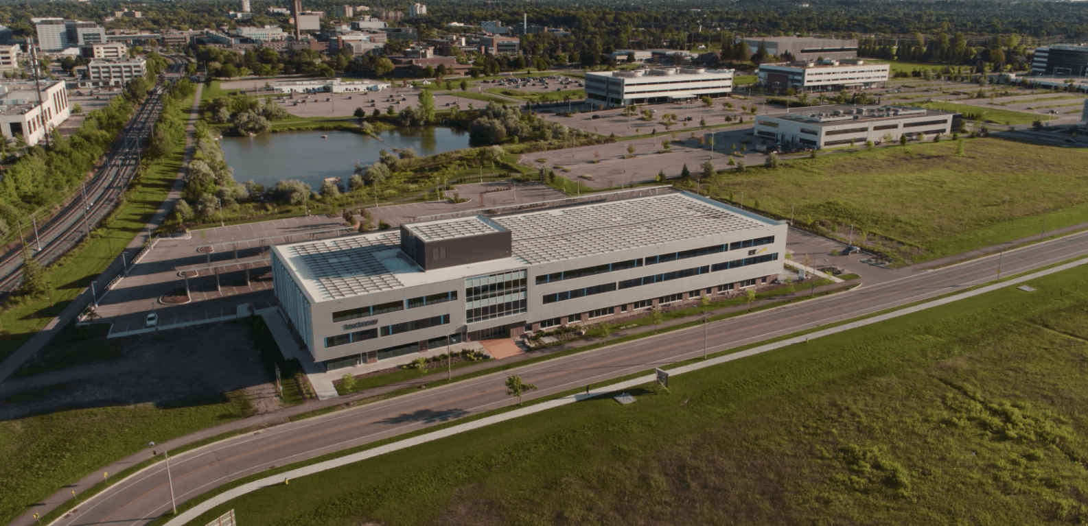
GeoMate was co-founded by Gharebaghi and Nastaran Saberi while both were doing their post-doctoral work at the University of Waterloo. The startup’s recent move into the Cora Building in the David Johnson Research + Technology Park is a homecoming for the growing startup.
“It’s very close to the University of Waterloo. We have a very good club collaboration with the University across multiple faculties and departments” he said.
We had been thinking of moving to R + T Park, and we found the opportunity here, we knew it was the right move”
“We hope that being inside the R+T Park helps spark more of these connections and conversations to bring our platform into even more real-world solutions.”
Dr. Amin Gharebaghi
Beyond proximity to UWaterloo, Gharebaghi said the R+T Park’s functionality and amenities as a living lab are perfect for the startup’s HD map development.
“The R+T Park is great for testing. We have customers using our maps right now in autonomous driving for delivery, which the R+T Park has been a test bed for in the past,” Gharebaghi said. “We hope that being inside the R+T Park helps spark more of these connections and conversations to bring our platform into even more real-world solutions.”
Whether it’s mapping out the safest route for a delivery robot or stress-testing smart city infrastructure, GeoMate is building the future one accurate, efficient map at a time.